When you’re in a long term relationship with someone who shares the same interests and hobbies, it’s easy to fall into the habit of doing everything together. It’s not that I dislike doing things together, rather from time to time I like to do my own thing. Partly to prove to myself that I am perfectly capable of doing stuff on my own, and partly because it’s rare that I get time to myself with no agenda.
Free weekends are a rare commodity and I know from bitter experience that when it comes to bank holidays, planning in advance is essential. With Mr CWS already camping at a LARP event over the bank holiday, I decided to take the opportunity to plan myself a solo break.
I didn’t fancy camping on my own and logistically it would have proved difficult for both of us to camp separately, fighting over who got to take the camp stove, so I decided that glamping accommodation would mean less hassle, and as it’s somewhere I love, I chose Scotland as my destination.
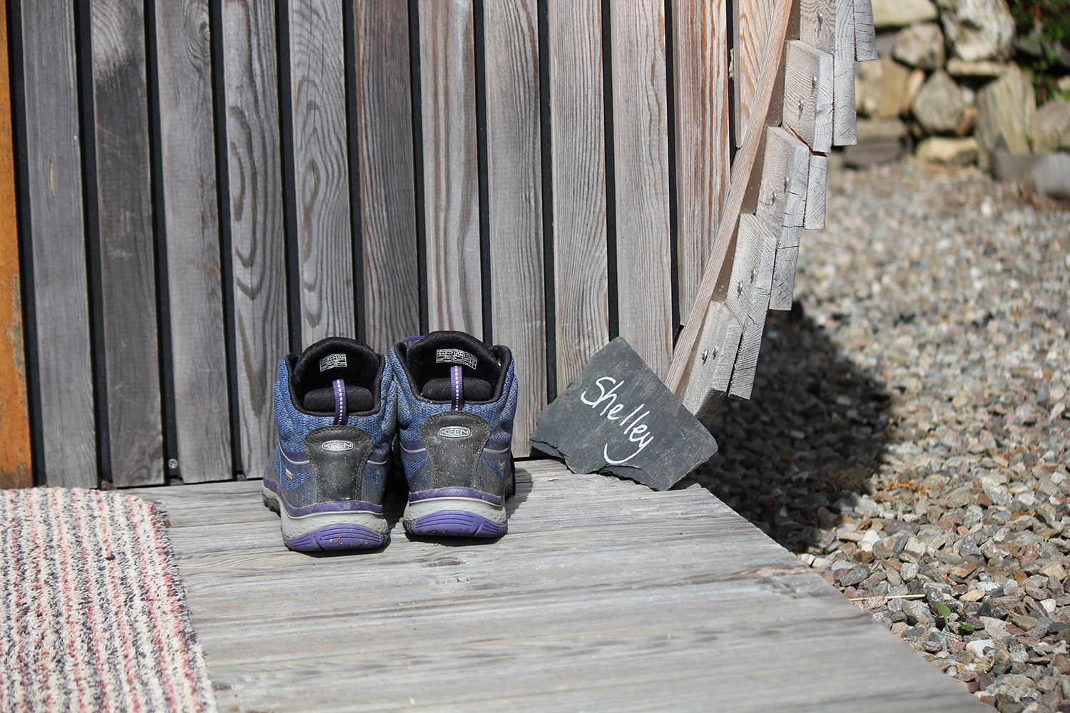
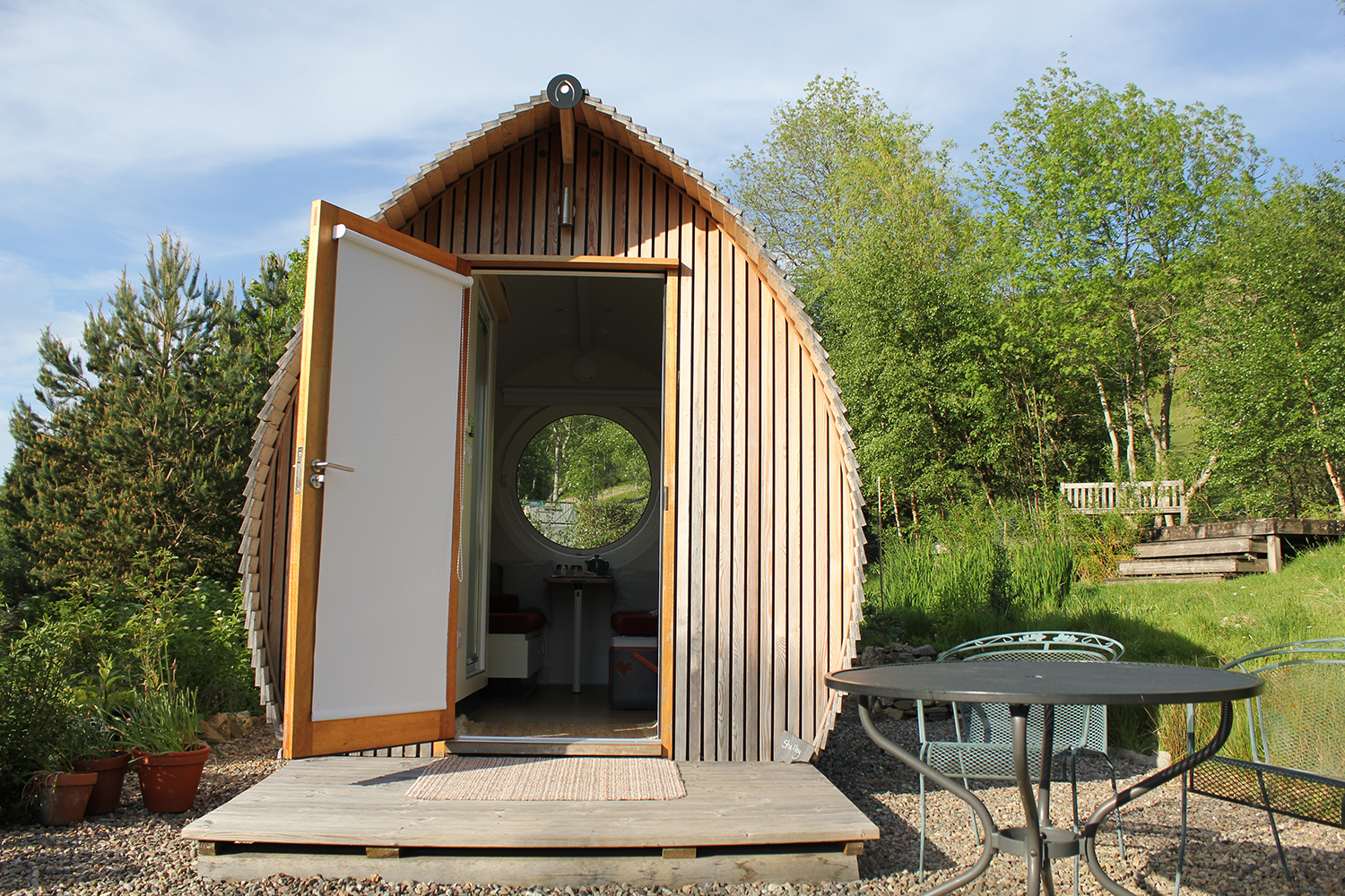
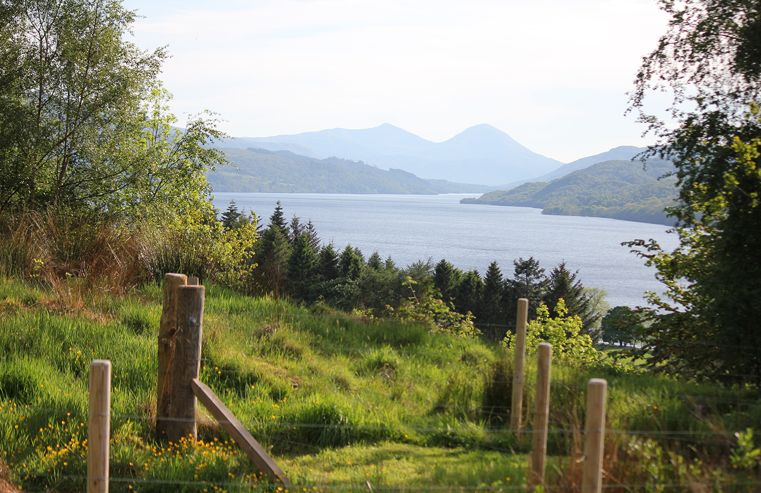
Returning to the Loch Tay area in Perthshire made sense; it was an area we’d previously visited last Easter, and we’d loved spending time at Ben Lawers nature reserve and doing part of the Beinn Ghlas ascent. Blizzard conditions scuppered our attempt to make the summit, so I shook my fist at the mountain in a menacing way and vowed I’d come back.
With my destination chosen and accommodation booked I planned myself a loose itinerary, intent on making the summit of both Beinn Ghlas and Ben Lawers this time, and I also made plans to kayak on Loch Tay.
Road trips are the best!
I absolutely love road trips and cliched as it may sound, I relish the journey just as much as spending time at my destination. As a child we used to go on family holidays to the South of France. Every year the three of us would be bundled into the back seat of the car and a thousand miles later, we’d arrive at the camp site in blazing sunshine with a gloriously carefree fortnight stretching out ahead of us.
With no one to share the driving with, It’s only recently that I’ve stopped dismissing Scotland as ‘too far’ and despite always wanting to visit the highlands, never managed it until almost 3 years ago but I’ve been back twice a year ever since.
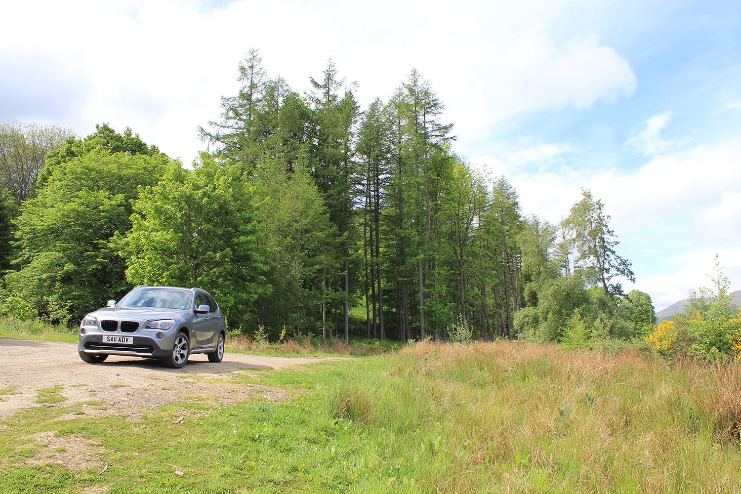
I wasn’t sure how much fun going on a road trip on my own would be, but really I wasn’t too concerned. I’ve traveled on my own before and am pretty happy with my own company, though I do admit to being a little anxious about my solo mountain hike.
Go Outdoors Pentrith
I made a short stop off at Go Outdoors in Penrith, it’s literally minutes from the motorway, and It was the most convenient location on en route for me to pick up the inflatable kayak that I’d reserved online the night before. With 15% off throughout the store I did end up coming out with more than just the kayak, as I just couldn’t resist!
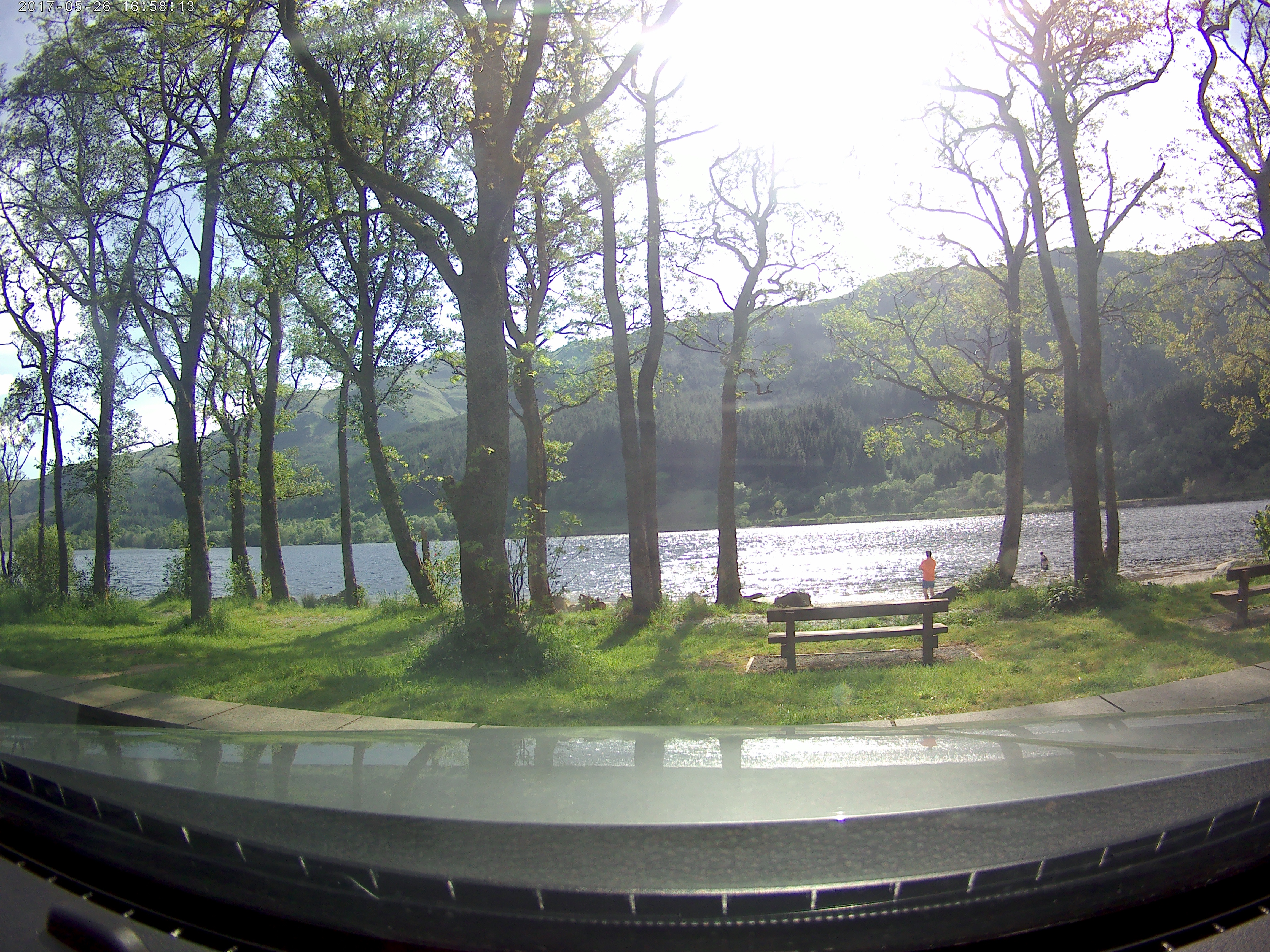
Taken on my dash cam on a quick stop off at Loch Lubnaig on the way up
The rest of the journey was fabulous, I always love watching how the landscape changes as I drive up through Cumbria and then over the border into Scotland. I stopped off a few times including a brief stop at Loch Lubnaig to admire the scenery and stretch my legs before the final hours drive on to my accommodation close to Loch Tay.
My first solo hike up Ben Lawers
Very much still in the novice walker category, I was keen to make sure I was well prepared. The weather forecast (which I usually studiously ignore unless I’m hiking) was telling me it was set to be a mixed one. From blazing hot sunshine to yellow warnings for severe storms with thunder and lightening by late afternoon. I decided to get up early, aiming to be off the mountain by mid afternoon.
I packed waterproofs, a fleece in case it got cold near the summit, snacks, quick energy release glucose tablets, phone battery pack, OS map, compass (I’m not sure why as I don’t even know how to use one properly), foil blanket (reasoning I might get lost and end up sleeping on the mountain and having to eat part of my arm to survive, but at least I’d not get hypothermia) along with my usual Lucozade, water bottle plus extra after-walk water to keep back at the car.
As you might be able to tell from my packing list, I’m used to hiking in winter, and was well and truly unprepared for 2 hours walking in sweltering sunshine.
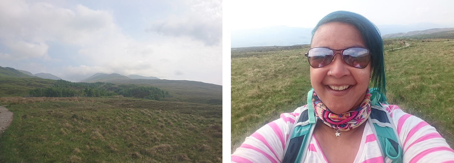
I received the OS Landranger map of Ben Lawers and Glen Lyon for Christmas (a present I was genuinely delighted with) and it came with a download, so I downloaded the OS app and offline area map and upgraded to premium so I could look for simple routes to follow, reasoning I stood more chance of following an idiot-proof GPS route than I did of using my rudimentary map and compass skills.
“There’s a clear path all the way to the summit, making the route easy enough even for the navigationally challenged.”
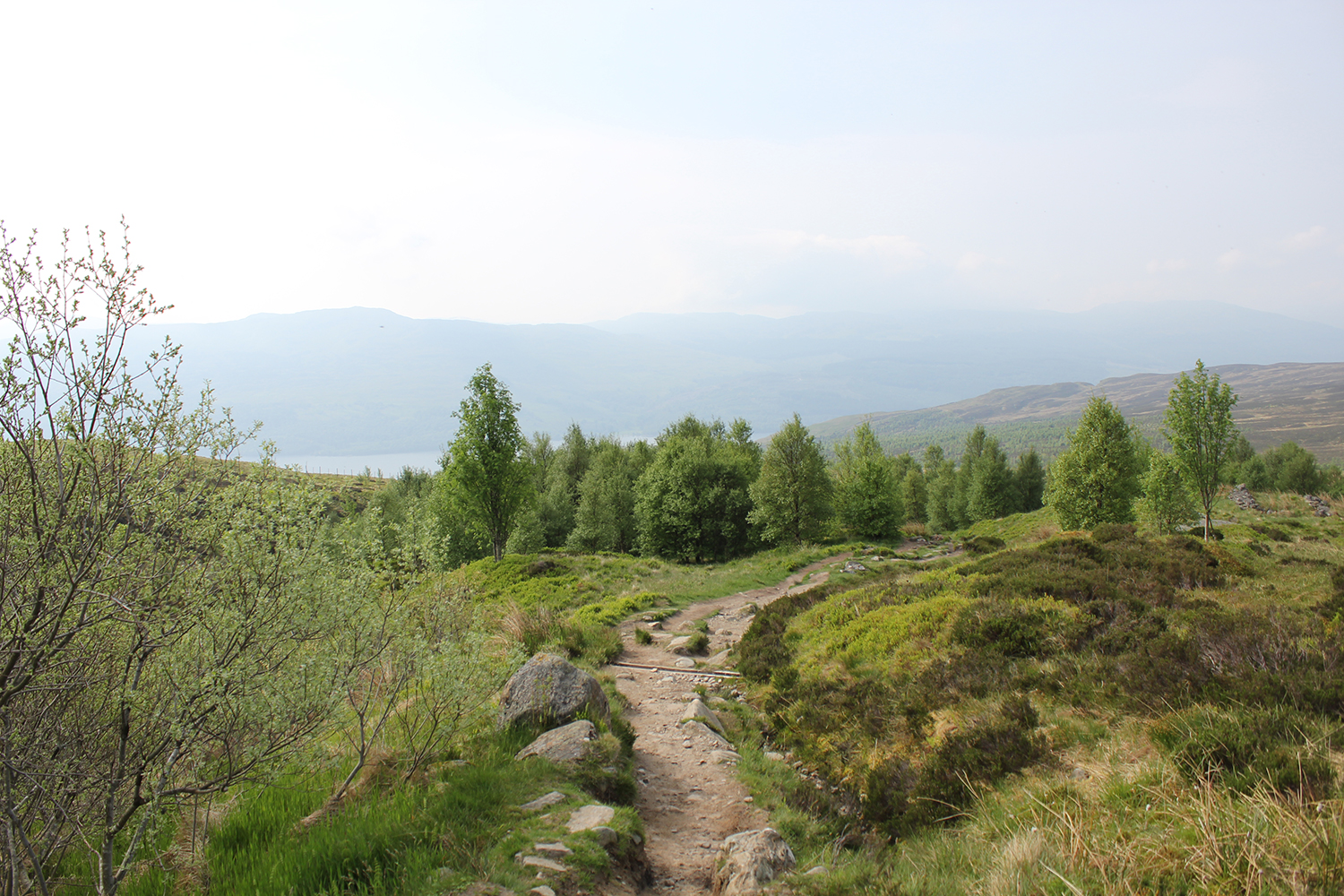
Having already walked part of the ascent, I was confident I’d know the way, and chose it as a solo walk partly because there’s a clear path all the way to the summit, making the route easy enough even for the navigationally challenged. According to Trail Magazine the route was just 1.6 miles long, but having walked part of it before I knew this to be incorrect. I also questioned the categorisation of the walk, which according to Trail Magazine was ‘leisurely’. Having completed the walk, I remain baffled by this.
Leisurely – are you mad?
Despite the first part of the walk being gentle, a gradual uphill walk through the Ben Lawers nature reserve, the route was by no means leisurely. A walk around a flat lake is leisurely. Leisurely to me is an easy stroll and absolutely not walking up a mountain regardless of it ‘only’ being the tenth highest in Scotland; which by the way, still makes it higher than any mountains in England or Wales.
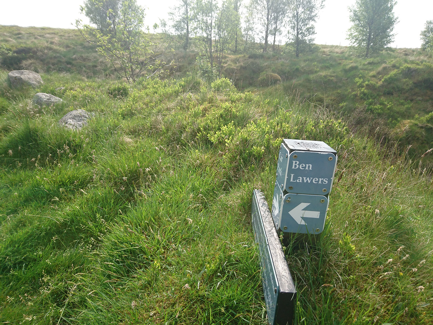
As I’ve mentioned, I’m very much a novice but have done hill and mountain walks classed as ‘strenuous’ and ‘challenging’ before, including the likes of Kinder Scout, Fleetwith Pike and the South Ridge route up Snowdon. Now, to an experienced walker those walks may indeed be mere bumps to prance up without breaking a sweat, but for someone of average fitness, I found them all strenuous and yet only moderately hard-going in places; and still all of them were easier than Ben Lawers.
I’m no great shakes when it comes to pace, but not a single walker passed me on the steeper bits that wasn’t audibly panting for breath and chats with several fellow walkers revealed ‘leisurely’ was not the first word that sprang to their minds either.
Summits – they’re (sadly) all about perspective
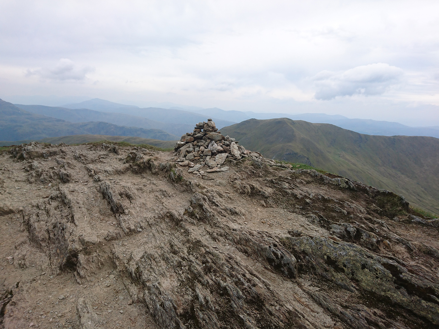
During my walk I reached what I assumed must be Beinn Ghlas summit, a cairn making a high point after a long steep-ish climb. I was delighted to have made it that far and reasoned I couldn’t now be too far until Ben Lawers.
A random cairn, put there for the sole purpose of tricking me into thinking I’d reached the top of Beinn Ghlas
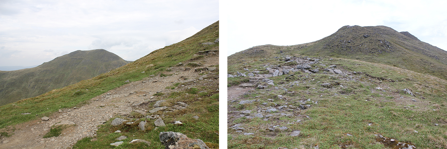
I carried on walking feeling strong and full of energy, expecting to find the long ridge that connects the two mountains and instead faced another climb, as I got to the top of that, my change in perspective revealed yet another steep climb to another summit. At the top of the third ‘summit’ I saw another cairn, finally!
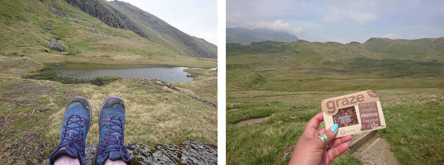
“I decided a sit-down was in order. I took some photographs, ate a Glucose tablet, smashed a Graze protien flapjack in my face and gulped down more water whilst looking mardy.”
I checked MyTracks, the GPS map I use to map all of my walks only to see that I’d walked just 4.5 km and was still nowhere near Ben Lawers. I checked my OS app which confirmed I still had the ridge and the final climb up to Ben Lawers to go.
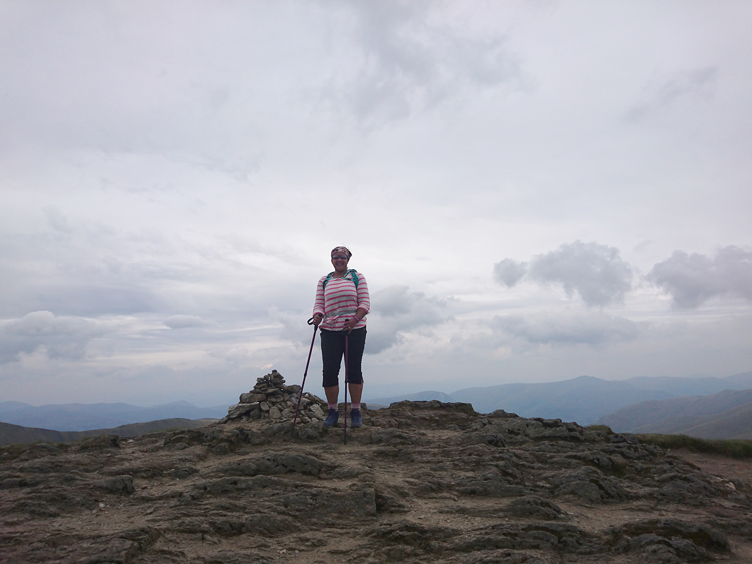
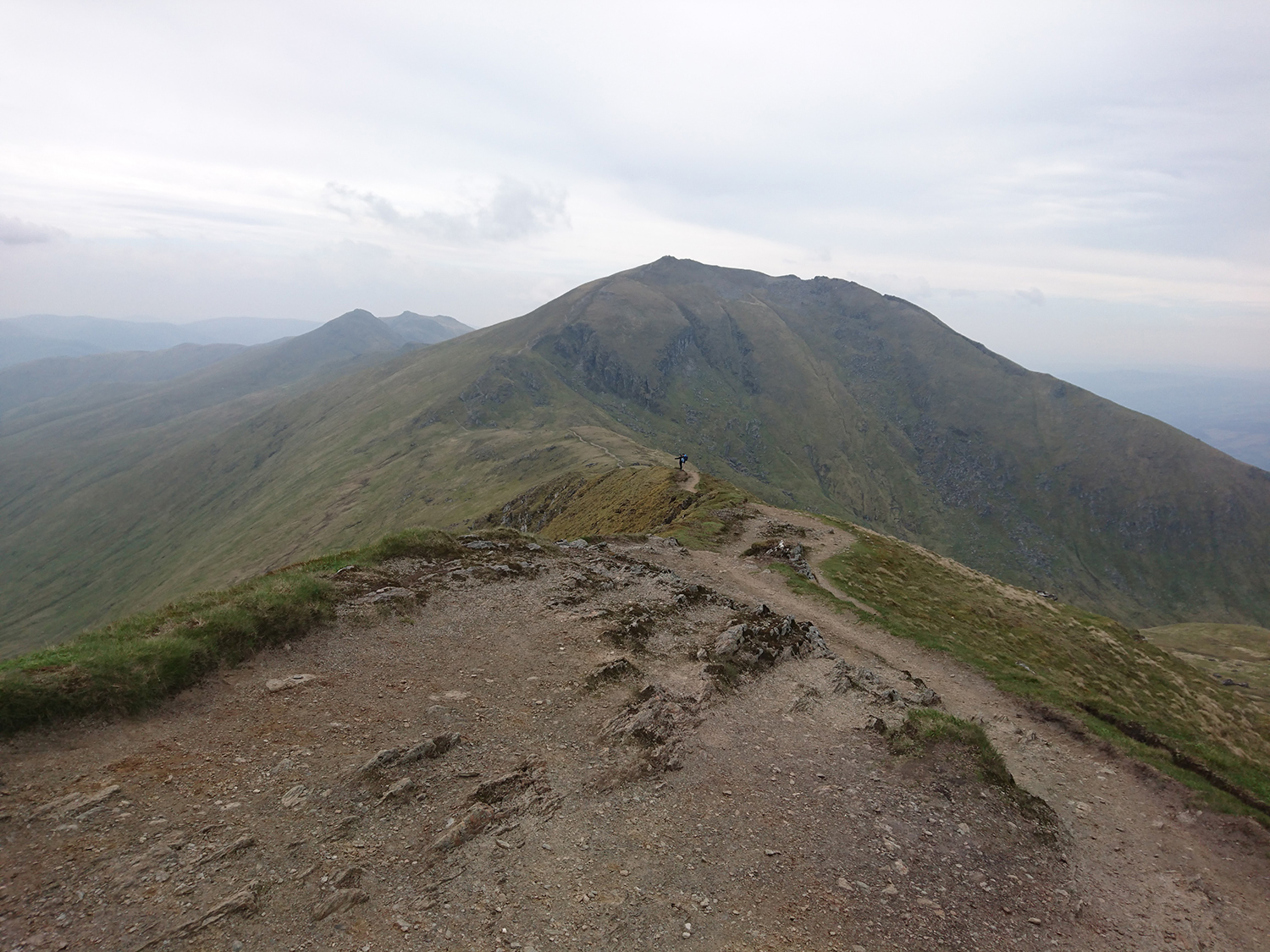
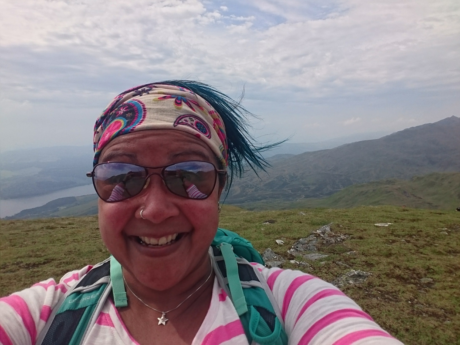
I decided a sit-down was in order. I took some photographs, ate a Glucose tablet, smashed a Graze protien flapjack in my face and gulped down more water whilst feeling grumpy.
“I can’t do it” I moodily told myself, then “I’m hot, thirsty and I can’t be bothered.”
I sat a while longer. I chatted to other walkers, sat some more and took some selfies. I stared over at the ridge and reasoned with myself that I’d come this far (not very far by most peoples standards, but It felt bloody far to me) and the ridge across to Ben Lawers did look like fun. Hidden until I’d reached the summit of Beinn Ghlas, over there was the actual summit, not like all those pretend-summits I’d hopefully hauled myself up to earlier.
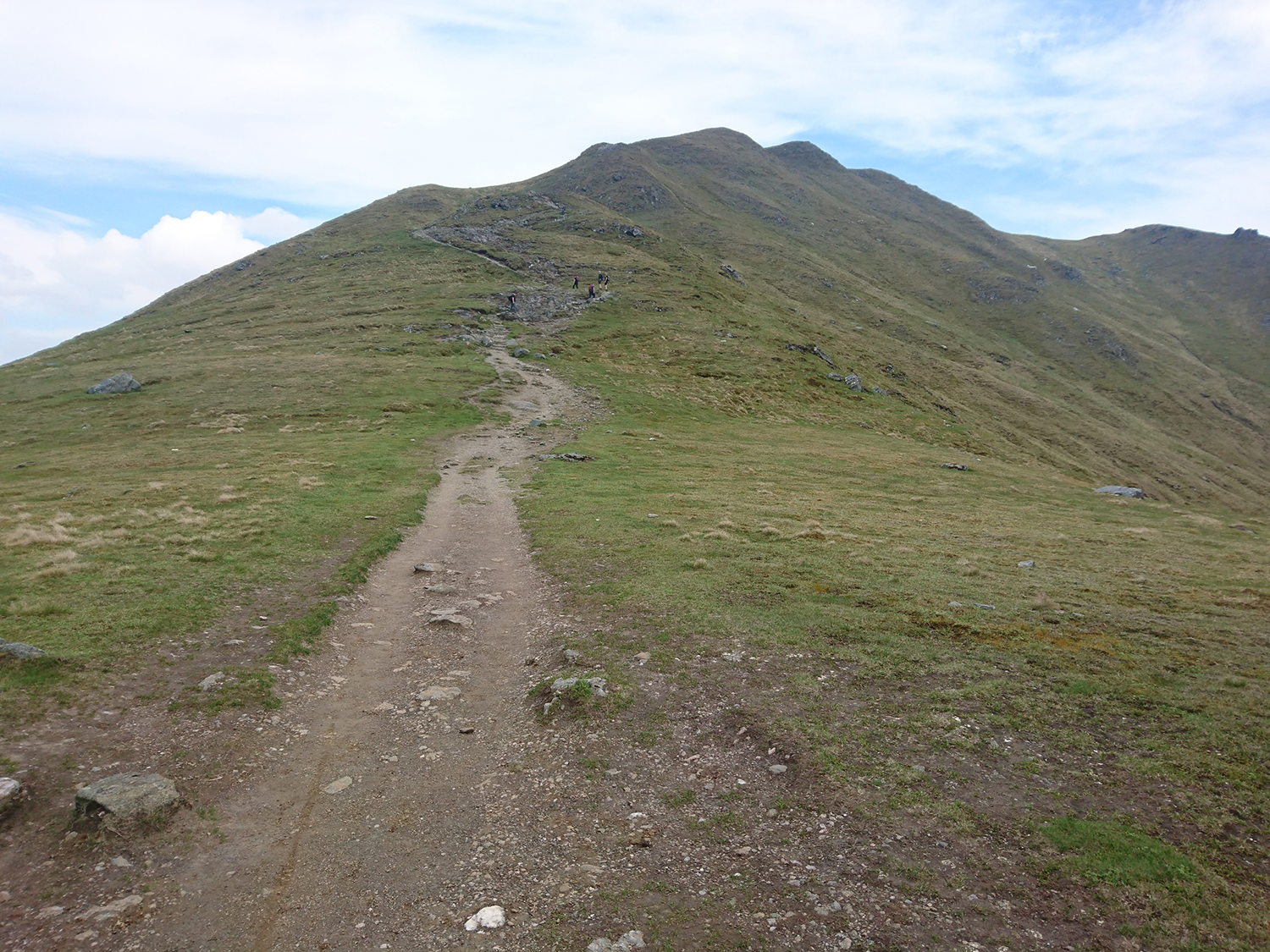
I pressed on and the ridge was a joy! Long and rolloing it went first downhill, then slowly and gently up hill (perhaps Trail Magazine only remembered this part of the walk when they graded it?). The higher I got the the cooler it was and the clouds surrounding me provided welcome relief. I picked up my pace and started a zig zag climb over rocks to get to the next vantage point. It wasn’t fooling me, having looked across (and used common sense for once) I’d already noted that I’d need to climb up at least 2 steep sections before I got to the actual summit and could begin my return walk.
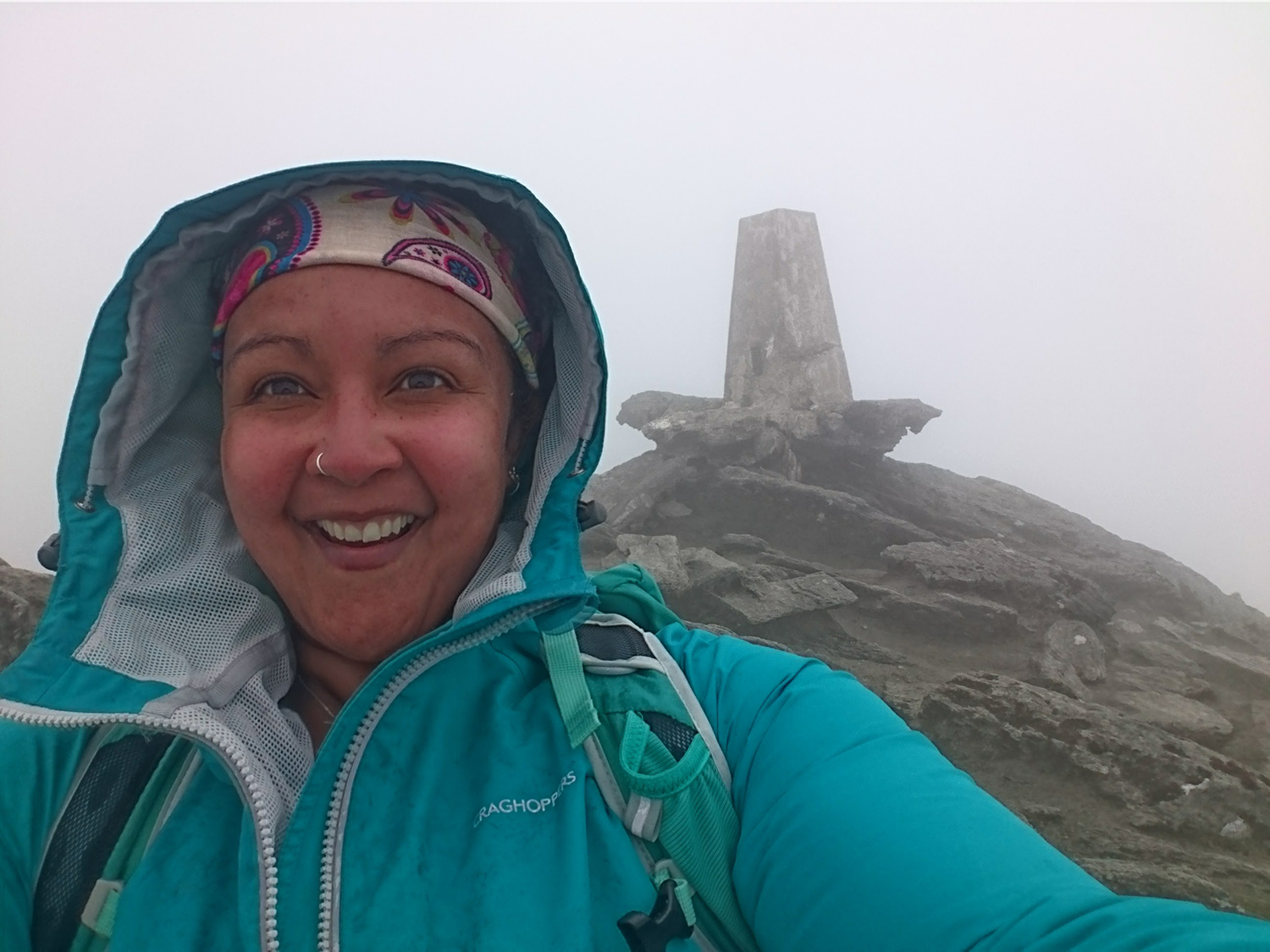
As I ascended I entered clouds, and finally after feeling like I’d been walking in concrete shoes for 20 miles, through the mist the Ben Lawers trig point revealed itself. As I reached the summit the rain started, and with thunderstorms and a severe weather warning in place for later that afternoon, I thought it would be sensible to beat a hasty downward retreat.
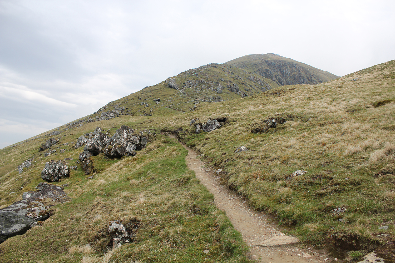
The descent was by a slightly different route. A large group of walkers who I’d been just behind the whole way up chose the route I’d planning on taking back, so I trailed them the whole way, and again the path was clear and unmissable, though I did check my GPS a few times just to make sure. The thunderstorm never came though and I needn’t have headed the severe weather warning as there was just a couple of hours of light rain to contend with.
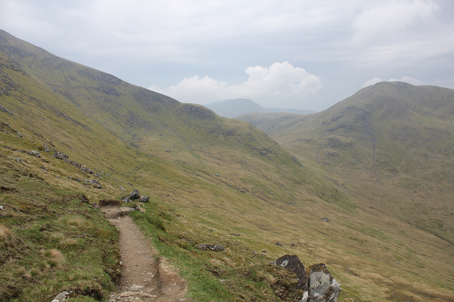
I still can’t figure out whether I enjoyed the walk or not. The heat sucked, and being a bit, OK a lot dehydrated afterwards sucked too…I liked the ridge bit and the being outdoors bit and the sense of achievement too though so I guess I enjoyed myself afterall.
Kayaking on Loch Tay at Taymouth Marina
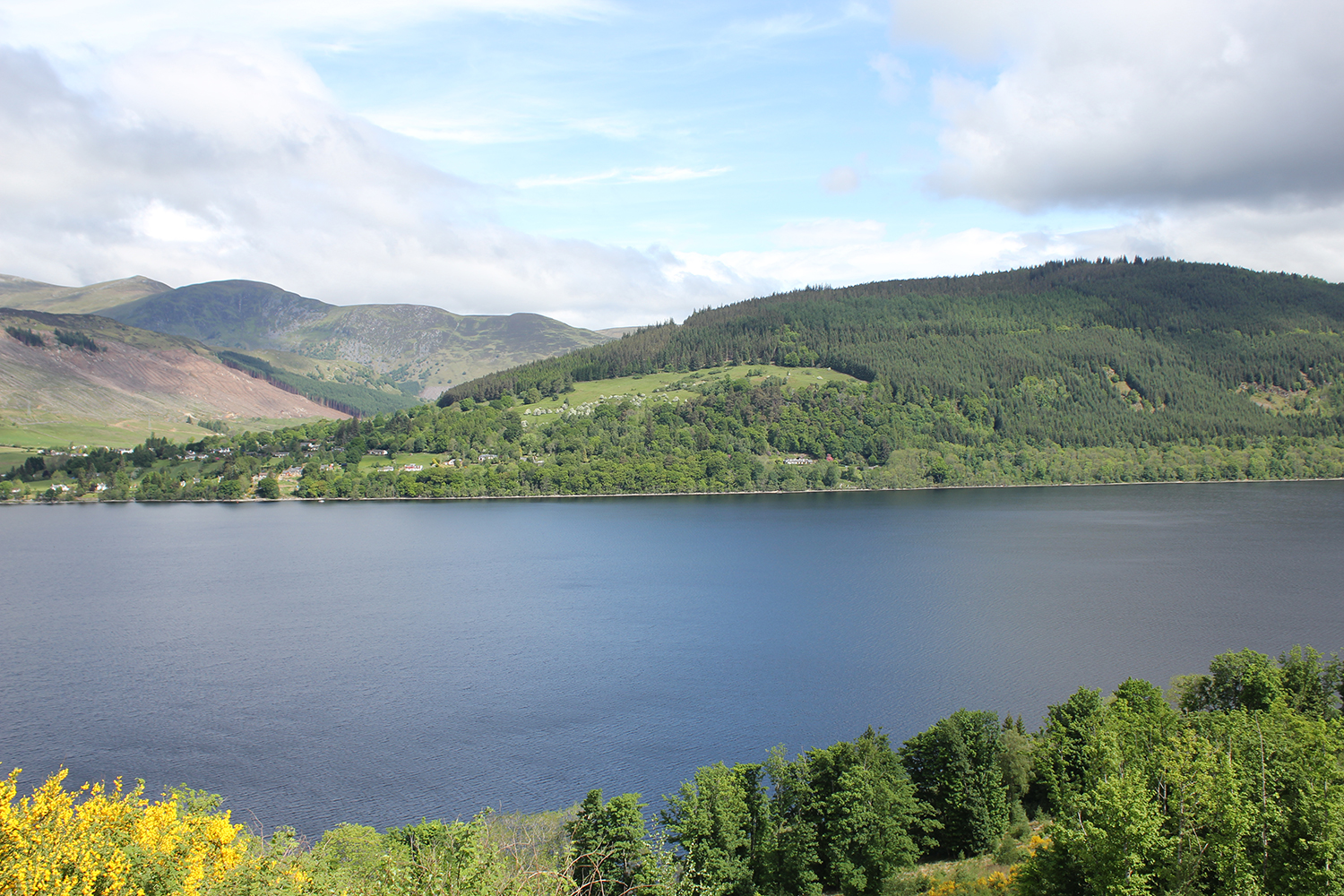
After a bright and early start the previous day I decided a lie-in was in order. I ate scrambled eggs on toast and drank coffee and an orange juice outside looking out at Loch Tay, which is approximately 23km long and reaches an astonishing depth of 150m in some places.
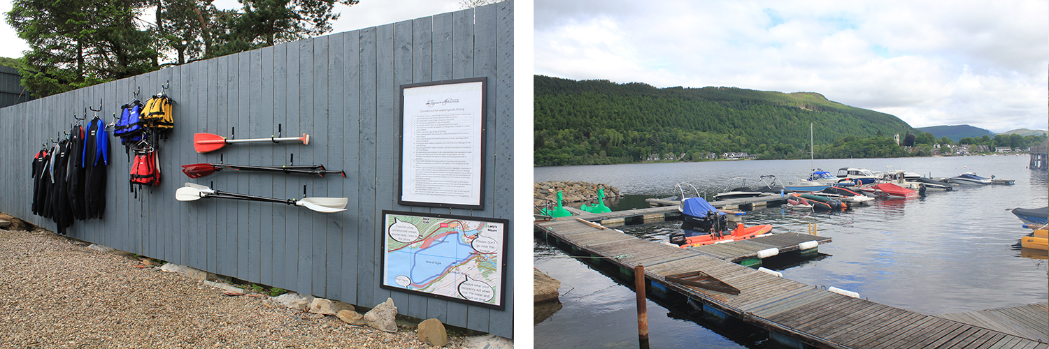
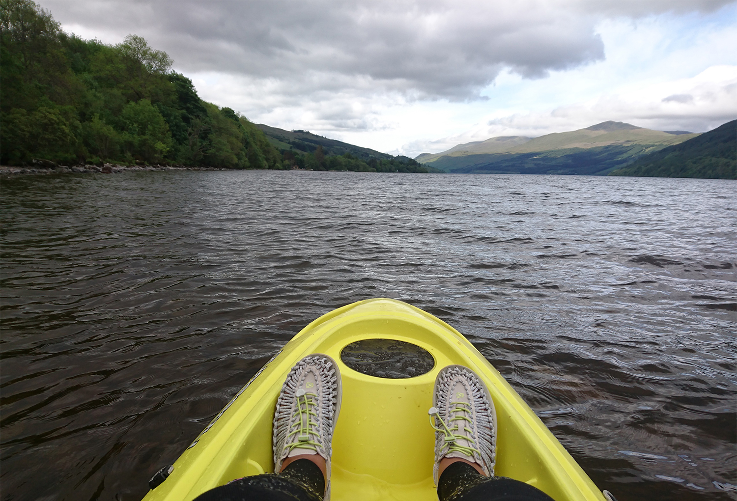
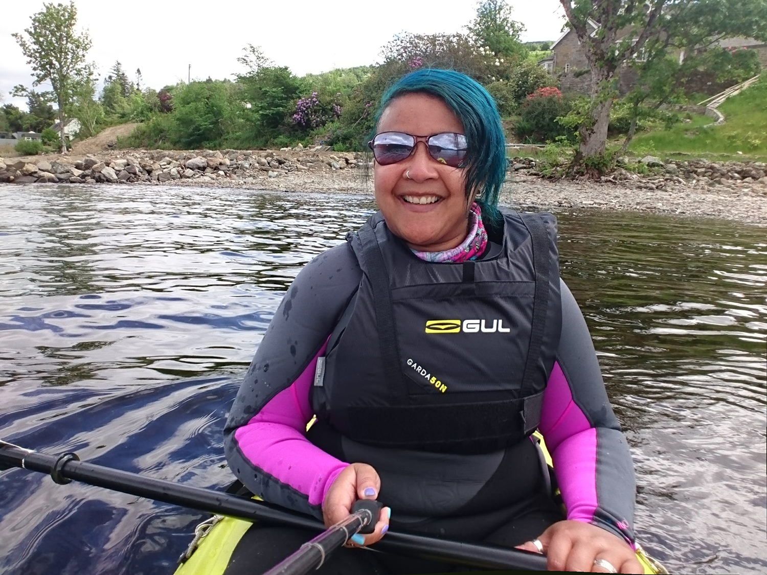
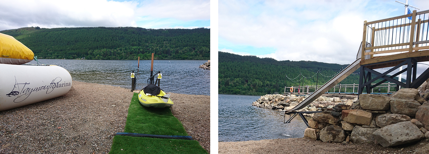
Taymouth Marina was only a 15 minute drive away from where I was staying, and as I arrived late on Sunday morning, the clouds began to part leaving behind blazing sunshine. I’d already arranged kayak hire, so took out a rigid kayak for an hour of paddling in the sunshine.
Being out on the water gave a different perspective to the previous day, providing a nice contrast. From looking down at the Loch for most of the day during my walk, I was now gazing up at the peak I’d stood on the previous afternoon.
After my paddle I sat in the sunshine for a hour or so, seemingly incapable of moving, just gazing out at the Loch, watching families hurling themselves down the slide straight into the freezing water.
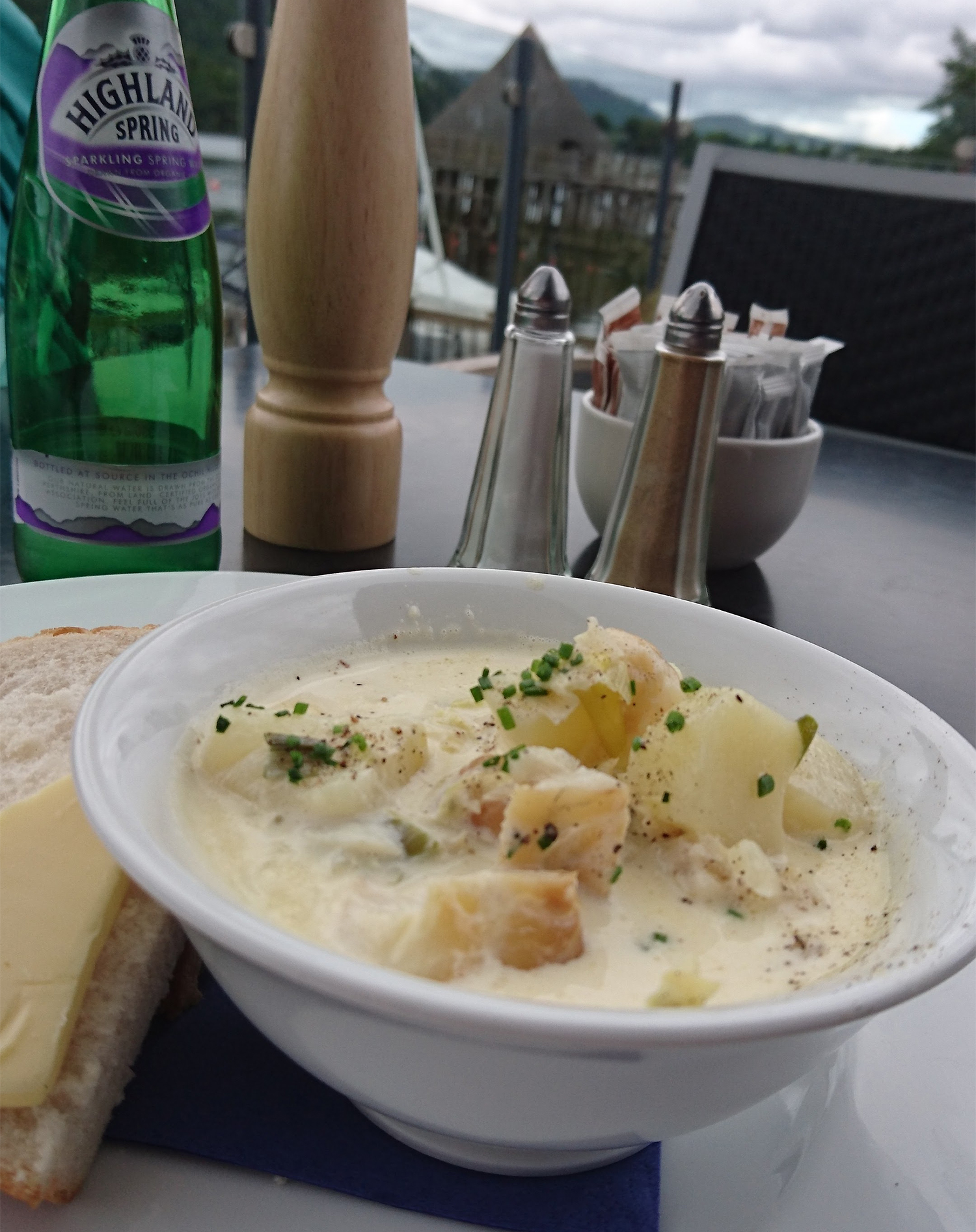
Hungry after a whole hour of exertion, I sought out lunch and wandered over to Taymouth Marina Restaurant where I ate a delicious Cullen Skink outside looking over the Marina. An utterly blissful way to conclude my solo Scottish road trip.
Things I’ve learned
- I’m rubbish at hill/mountain/munro walking but am still inexplicably driven to do it anyway
- In future I should take a mule on hikes in order to carry the absurd amount of water I seem to need
- I’m happy with my own company, content to just sit in public places grinning to myself in the manner of a simpleton
- I drink copious amounts of Gin when I’m on my own
- Kayaking is my new favourite obsession, usurping indoor climbing
- When I’m given a detailed OS map and am planning a route, I really should look at it more closely so every steep bit doesn’t trick me into thinking it’s the ruddy summit
- I really can’t get enough of Scotland, and I’m a massive idiot for not exploring it sooner
Find out more
- I stayed at Loch Tay Armadilla Glamping which are absolutely stunning and very highly recommended (separate review coming soon)
- I hired a kayak from Taymouth Marina and ate a delicious meal there including the best Cullen Skink i’ve ever had
- Find out more about Loch Lomond and the Trossachs National Park
- Read about the last time we visited Ben Lawers Nature Reserve last Easter
The post My Scottish Road Trip – Kayaking in a Loch & Standing On Top Of Mountains appeared first on Camping with Style Camping Blog | Activities • Glamping • Travel • Adventure.
from
http://www.campingwithstyle.co.uk/my-scottish-road-trip-kayaking-in-a-loch-standing-on-top-of-mountains/
No comments:
Post a Comment